
Most infrastructure platforms started as GIS software or engineering tools, then had AI and automation added on top. BeExact was built the other way around: one platform, engineered from the start to turn field reality into a live, connected record that gets more accurate every time it’s used.
Detection models identify and classify assets automatically, and improve continuously as new capture data comes in. Accuracy compounds across every project, not just the one it was trained on.
360-degree imagery, LiDAR, and ground-penetrating radar turn physical infrastructure into a precise digital record, at a scale that makes national capture programs routine rather than exceptional.
GIS, CAD, and workflow data live in a single environment, so design, detection, and field teams always work from the same current information, not separate exports of it.
A cloud-based platform runs national capture programs, engineering teams, and rollout coordination from one system, across the Netherlands, Germany, Italy, and beyond.
Every improvement to the platform reaches every customer at once. Your data gets smarter every year you use it, not just the year you captured it.
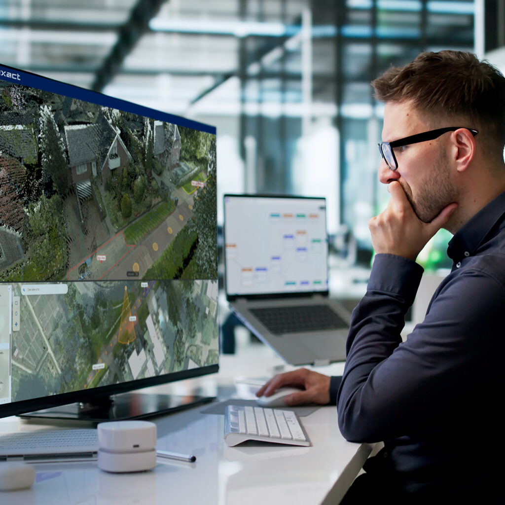

Explore a live demo of the platform, or launch a pilot with real data capture, real processing, and real results on your own infrastructure.