
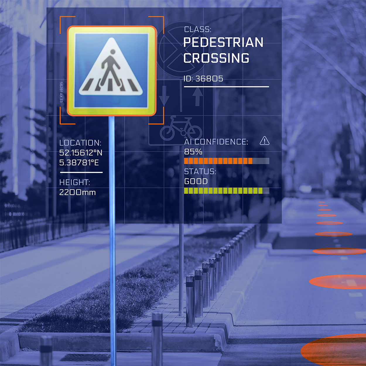
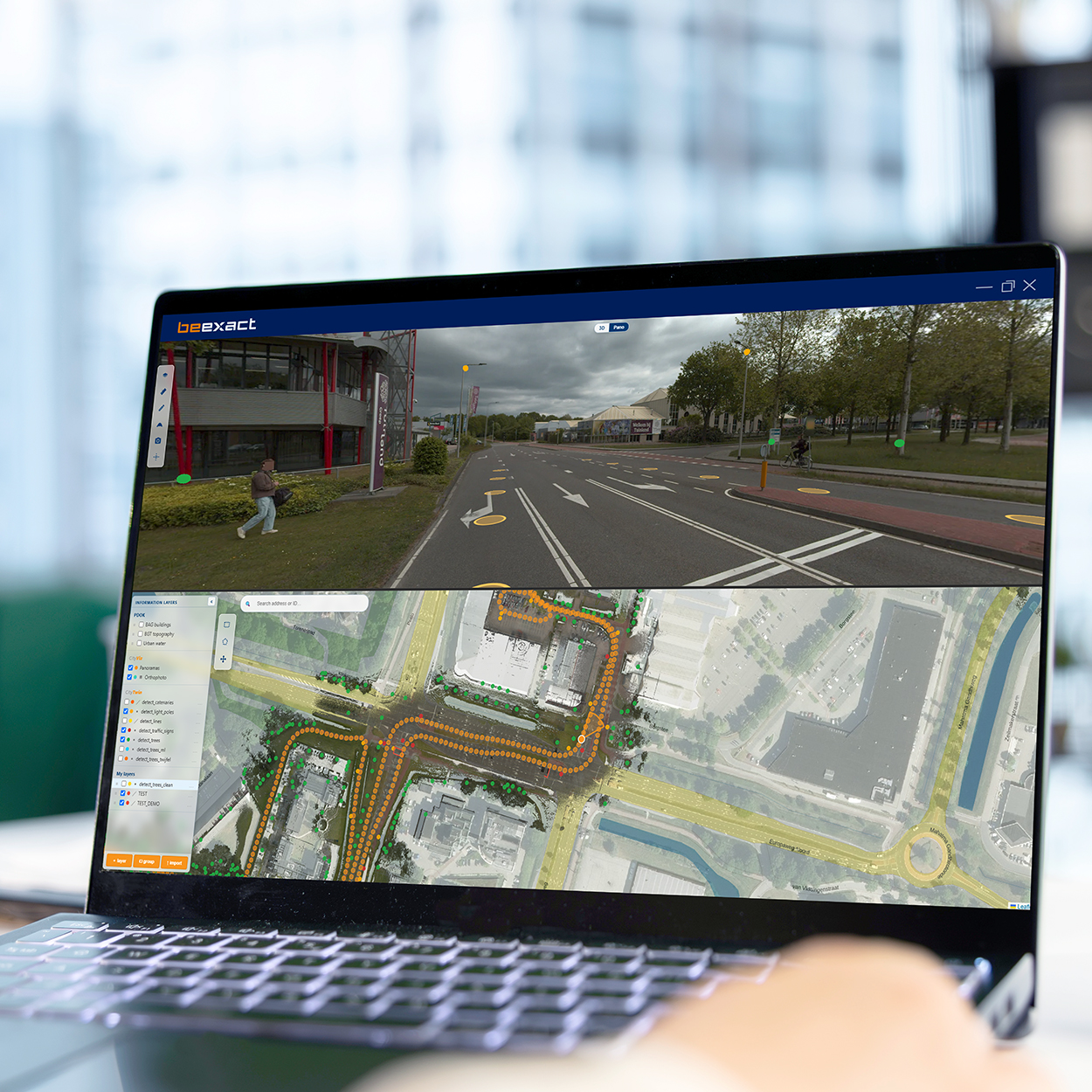
Captured data is only valuable once it becomes information you can act on. OnCapture delivers the imagery and point clouds. OnDetection interprets them. AI models identify and classify assets across the full survey area, then place each object on the map with a coordinate you can use. Address validation checks and completes address data at scale. Road surface analysis and ground cover analysis grade condition and material across the network. Point cloud processing turns raw measurement into structured geometry for GIS and engineering. Our Smart Viewer 360 brings imagery, point cloud, map, and detection layers into one screen, where a click in one view synchronizes the others to the same location. Detection layers are separated per source, so your own data, national reference layers, and AI results stay distinguishable at all times.
Manual inspection samples. Detection covers everything. The same models are applied to the whole survey area, which means every street is assessed against the same standard on the same day. Address validation reaches more than 98% accuracy, and CapEx calculations built on detected data reach 97% accuracy. Detected objects, including trees, light poles, traffic signs, and street furniture, appear directly in both the panorama and the map view. Detection models are retrained continuously as new data arrives, so accuracy improves across the platform rather than per project. A built-in mutation comparer sets one capture year against another, so change between periods is visible without a manual comparison exercise.
Cost certainly starts earlier than most teams expect. When asset and address data is validated up front, cost per home projections become accurate enough to trust at the business case stage, before commitments are made. Consistent standards replace individual judgment, which removes the variation that makes network data hard to compare between regions and contractors. Teams prioritize on evidence, targeting the assets and areas that need attention first. And because detection runs on data you already own, existing surveys keep producing new insight without new fieldwork.
“Our CapEx estimates used to move every time a new survey came in. Now the number holds from business case to construction, because it was validated the first time.” – Head of network investment, fiber network operator
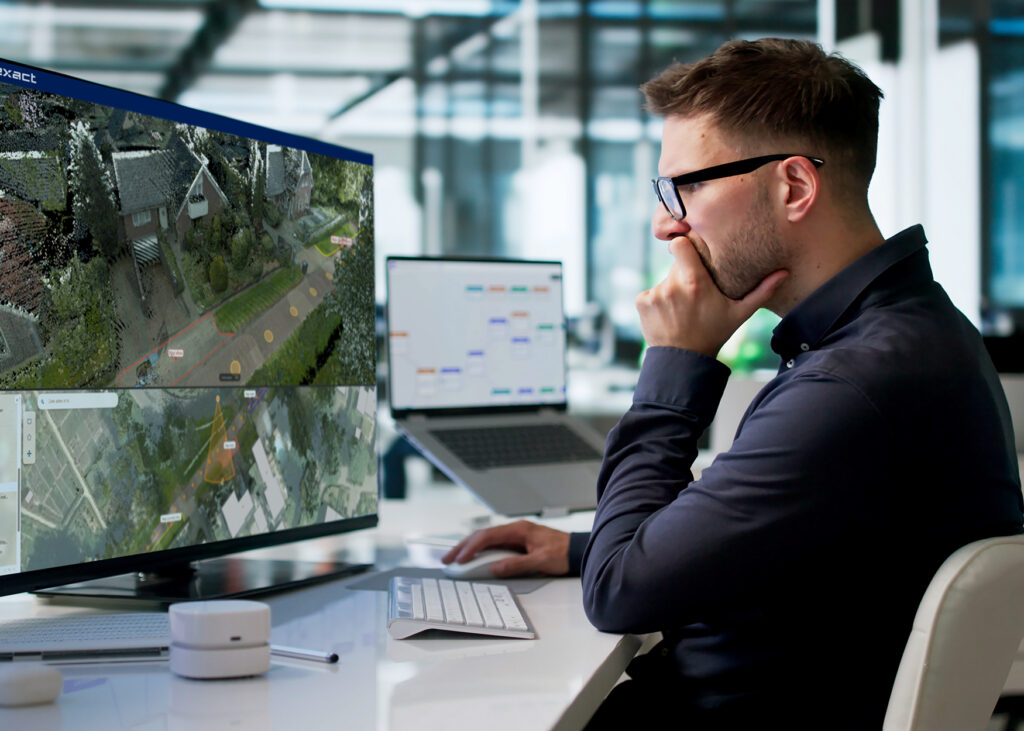
BeExact’s OnDetection turns every survey into validated, decision-ready network data.
Address and asset detection reach accuracy above 97%, so cost projections hold from business case through construction. The same models assess every street to the same standard, giving teams a consistent basis for comparing regions and contractors.
That consistency lets planners act on evidence from day one.

Explore a live demo of our platform, or launch a pilot project with real data capture, real processing and real results on your own infrastructure.