

Every infrastructure decision depends on knowing what is actually there. OnCapture records the physical environment once, then turns it into a dataset your whole organization can use. Mobile mapping vehicles collect 360-degree panoramic imagery and LiDAR in the same moment, so imagery and point cloud share one trajectory and one coordinate framework. Drone scan reaches what a vehicle cannot. Backpack and indoor systems handle dense urban environments, buildings, and sites without road access. Ground scan uses ground penetrating radar to map what sits below the surface. GPS survey anchors everything to the national reference system. The result is one geometrically consistent record of public space, ready for design, permitting, inspection, and asset management. As part of the BeExact ecosystem, that record flows straight into OnDetection, OnDesign, and OnExecution without a handover or a reformat.
BeExact operates more than 90 mobile mapping systems and has captured more than 60 million homes passed. Programs at national scale are routine work for our teams. Coverage is complete rather than sampled. Every road, square, cycle path, foot path, and public parking area in the survey area is recorded, and divided roads are driven in both directions, so nothing stays hidden behind a central reserve. The same method is applied everywhere, which makes results comparable between regions and between capture years. Accuracy is verified automatically on every project before delivery, and each delivery includes an accuracy report covering the full survey. Faces and license plates are masked automatically, immediately after capture, so privacy is handled at the source. You receive a dataset your teams can use straight away, and one that holds up to scrutiny from regulators and the public.
Site visits are the most expensive way to answer a simple question. One systematic capture replaces many individual trips, and the same dataset serves design, permitting, inspection, maintenance, and asset management. Every team works from one source, so nobody drives out to verify what a colleague already recorded. Ground scan reduces the risk of excavation damage, which protects crews and removes one of the most common causes of unplanned cost in construction. Most cities and network operators now capture once a year, which keeps the record current while field trips stay the exception. You put fewer vehicles on the road, spend fewer hours in the field, and lower the cost of every decision that used to require a visit. That saving returns with every capture cycle.

“We used to send an inspector out every time a design question came up. Now the answer is already in the platform, and the accuracy report holds up when a permit gets challenged.” – Network planning lead, regional grid operator
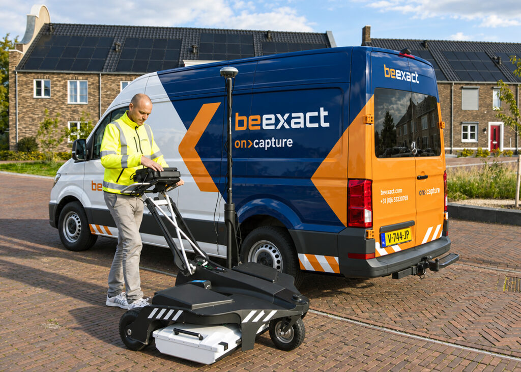
BeExact’s OnCapture replaces recurring site visits with one dataset every team can rely on.
More than 90 mobile mapping systems have captured over 60 million homes passed, each project delivered with a full accuracy report. Design, permitting, inspection, and maintenance all draw from that same record, so one answer serves every team.
That reliability turns a single annual capture into a year of confident decisions.

Explore a live demo of our platform, or launch a pilot project with real data capture, real processing and real results on your own infrastructure.