
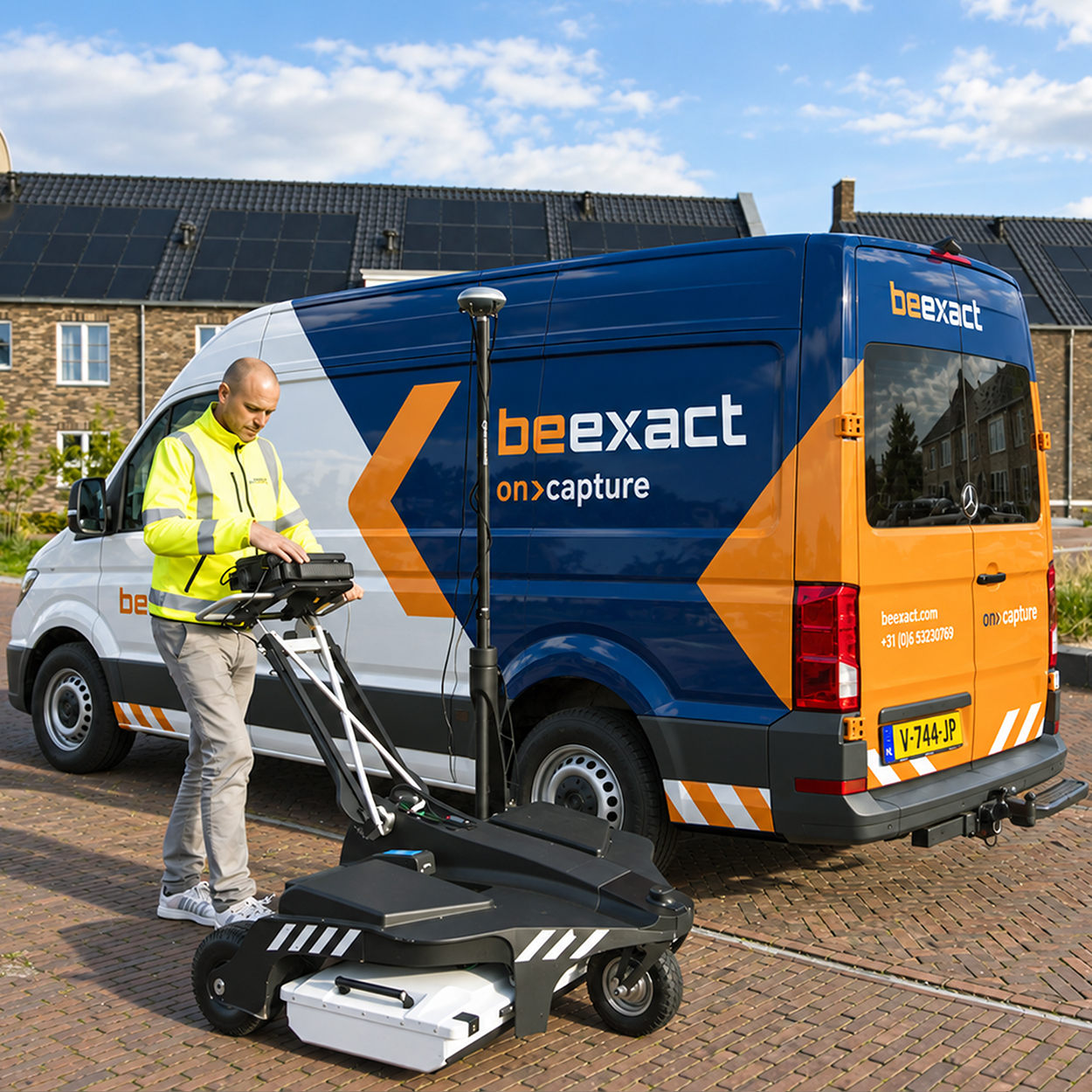
BeExact brings together geospatial data capture, infrastructure design software, and network engineering under one organization. What used to require multiple specialists and multiple handovers now runs as one connected process, for telecom, utility, and smart city networks across Europe.
BeExact was formed in 2025, bringing together specialists in geospatial data capture, infrastructure software, and network engineering into one organization. The organization is new. The experience behind it is not: our professionals bring decades of hands-on work in telecom, utility, and geospatial engineering, built up long before BeExact existed as a name. Together, these teams are closing the gaps that used to sit between data, design, and delivery: the point where a survey became a design brief, and the point where a design became a construction task. Teams now work as one organization, with one platform and one standard, rather than separate companies sharing a client.
Most infrastructure partners specialize in one stage of the process and hand off the rest. BeExact covers all six: OnCapture, OnDetection, OnDesign, OnWorkflow, OnExecution, and OnSupport. Field data is captured once, interpreted by AI, used directly in network design, driven through rollout by workflow software, delivered by our own engineering teams, and supported for as long as the network is in service. Telecom operators, utilities, and municipalities work with one accountable partner instead of coordinating a chain of vendors, and one data model that carries through every stage of the project.
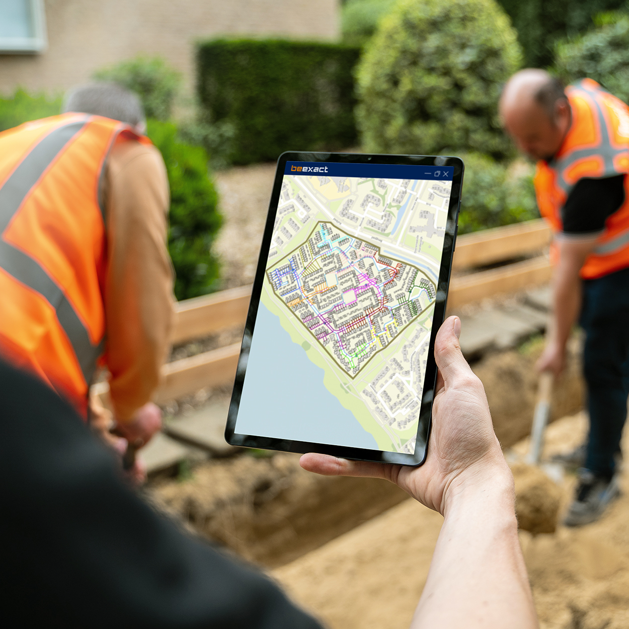
BeExact operates from the Netherlands, Germany, and Italy, with projects delivered throughout Europe. Discover our offices here.
More than 230 professionals work across the organization, supported by a fleet of more than 90 mobile mapping systems. That combination of local presence and shared platform lets national programs run to one standard, wherever they run.
More than 60 million homes passed have been mapped, and annual engineering capacity exceeds 8 million homes passed. Address validation reaches more than 98% accuracy, and CapEx calculations reach 97%. More than 55 data and voice networks have been designed, and more than 25,000 wholesale access lines are supported. These are not one-off results. They are what one connected platform produces at scale, project after project.